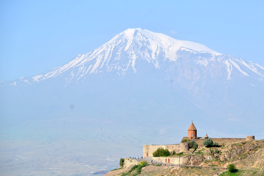
Ararat Region in Armenia
Area: 2,117 sq km
Administrative center: Artashat
Distance from Yerevan to Artashat: 29 km
The marz of Ararat (region of Ararat) is located in the western part of Armenia and borders on Turkey and Azerbaijan. The territory of Ararat marz is accurately divided into two parts – plains and mountains. The plains are located between the river Razdan and the border of Armenia with Turkey. The most part of the population of the marz basically consists of Armenian immigrants from Persia who arrived there in the 1830s.
The most of the mountain part is occupied by the slopes of the Gegam Mountains as well as the Urts and the Eranos mountains. The mountain part of the marz is practically deserted. The pride of the mountain part of Ararat marz is the Khosrov reserve – the woods planted by Armenian tsar Khosrov Kotak in the 4 th century.
The climate of marz is continental with hot sunny summers and cold winters. The territory of Ararat marz once was a part of the historical Vostan district of Airarat province of Great Armenia. There the historical capitals of Armenia – Artashat and Dvin were located. The other places of interest are Khor Virap monastery (17 th century), Agdots monastery (13 th century), Avuts Tar (10 th – 13 th centuries), Shenats (6 th – 15 th centuries), Kakavaberd fortress (4 th – 12 th centuries), the ancient capital of Armenia – Dvin, view of Ararat mountain.
Artashat
Artashat is an administrative centre of Ararat marz, which used to be the ancient capital and was one of the largest centers of Hellenistic civilization until 370 BC. It is located in heart of the Ararat valley 10 km to the northwest from the historical Armenian capital Artashat. Modern Artashat is a beautiful industrial city. Most historical places of interest are situated in its vicinities.


